![]()

Excellent for Survey, Measurement, and Research
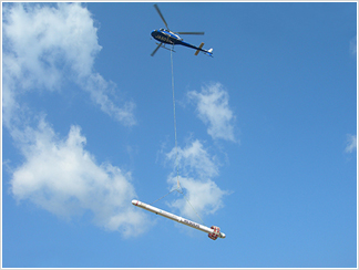
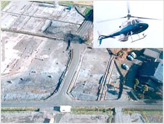
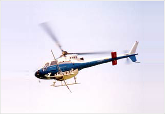
We have been conducting geographical resource survey for map making and analysis diagram, as well as archeological survey, applying helicopters and aircrafts equipped with advanced cameras and special instruments for aerial shooting and airborne geophysical survey, also by processing those information collected from the sky with our high performance analytical instruments. Toho Air believes that to learn about the global is the first step to protect it, and therefore will continue to provide a support for airborne survey , as to make a contribution to global environment.
Copyright (C) TOHO AIR SERVICE Co., Ltd. All Rights Reserved.